
HIKE & FLY 2025
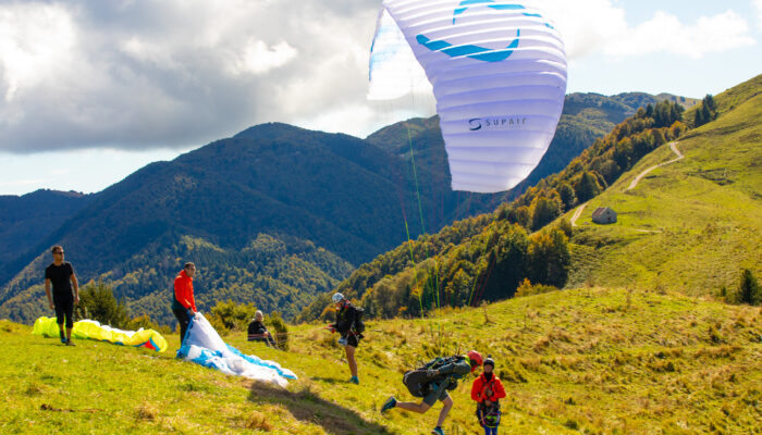
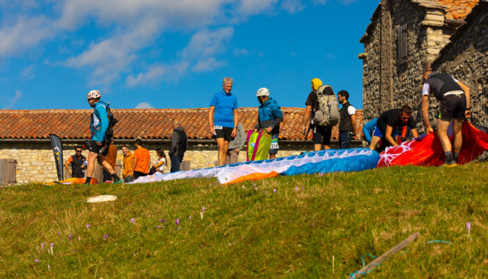
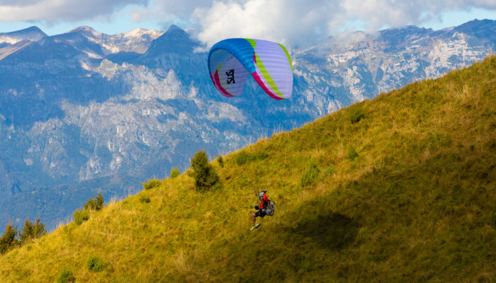
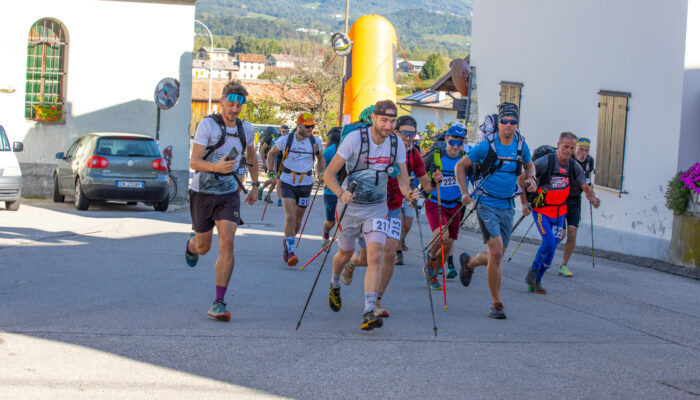
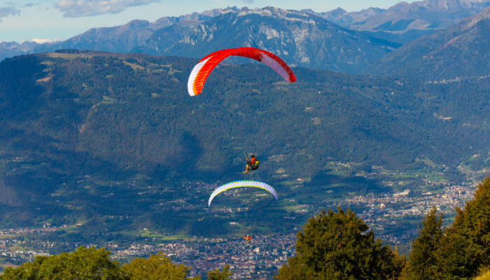
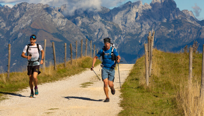
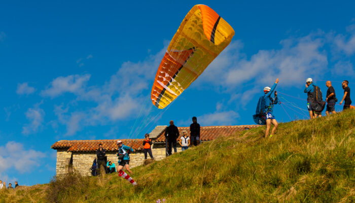
Goditi lo spettacolo delle edizioni precedenti!

Il percorso: 10KM 980D+
Map of the route “HIKE & FLY 2025”: 17.867 m, 1.112 m of climbing and 1.115 m of descent, elevation between 244 m and 1.219 m, time 05:34:53. It is a loop that starts and ends at 46.04496, 12.02112 (latitude, longitude).

Realizzato con wordpress | Hermann Benincà